Thinking about a waterfront home in Aqualane Shores and wondering what “Gulf access” really gets you? You’re not alone. The term sounds straightforward, but the details matter when you own a boat or plan to. A clear understanding of routes, depths, tides, and permits will help you choose the right property and enjoy smooth boating days.
In this guide, you’ll learn how Gulf access works in Aqualane Shores, the practical navigation factors to verify, what to know about docks and seawalls, and a simple buyer checklist. You’ll walk away ready to compare homes with confidence. Let’s dive in.
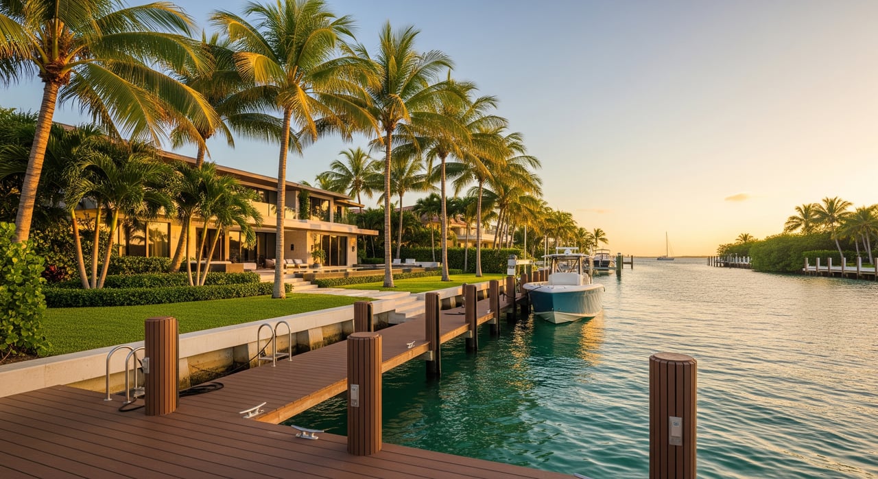
Gulf access in Aqualane Shores
In plain terms, Gulf access means you can navigate from your private dock to the Gulf of Mexico without passing through a lock. In Aqualane Shores, that usually means a route from a canal into Naples Bay, then out to the Gulf through the local pass commonly referred to as Gordon Pass.
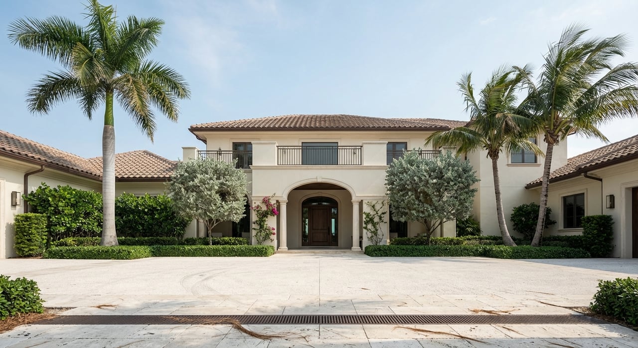
Properties in Aqualane Shores are primarily canal-front or bay-oriented, with private docks and seawalls being common. That setup offers a short, convenient run to Naples Bay. The key distinction is that most homes do not sit on open Gulf waters; instead, you enjoy protected canals with quick access to the bay and beyond.
What this means for you: focus less on the label and more on the route’s practicality for your boat. Draft, depth, tides, and dock geometry determine whether your vessel fits your lifestyle.
Routes to the Gulf
From most Aqualane Shores docks, you’ll idle through a short canal to Naples Bay, follow marked channels, and exit through the local pass to the Gulf. It is a straightforward route, but conditions can vary with season and weather.
You’ll find that canal orientation shapes daily comfort at your dock. Short, sheltered canals tend to be calmer, while bay-facing lots may see more wind-driven chop. The direction of sun and breeze also affects how your dock lives, especially on late afternoons.
Navigation factors to verify
Canal vs. bay orientation
- Bay-facing or open-bay exposure can experience more wave action than short canals.
- West and southwest exposures get strong afternoon sun and sea breezes.
- North and east orientations are generally more protected from wind and chop.
Depth, draft, and shoaling
- Confirm the Mean Low Water (MLW) depth at your dock and along the entire route to the pass.
- Seasonal shoaling can alter depths, especially near inlets. Maintenance dredging can change conditions over time.
- Match your boat’s draft and beam to the dock geometry and the narrowest, shallowest part of your route.
Tides and the local pass
- The local pass into the Gulf experiences tidal exchanges that create noticeable currents.
- Arriving or departing near slack tide is a common practice for comfort and control, especially in heavier current periods.
- Expect choppier water near the inlet during wind-against-tide scenarios and frontal passages.
Bridges and vertical clearance
- Most routes from Aqualane Shores to the Gulf do not require you to pass under low-clearance fixed bridges.
- Still, verify vertical clearance for hardtops, radar arches, outriggers, and flybridges based on your specific route.
Seasonal traffic and weather
- Winter and early spring bring higher boating traffic, especially near marinas and popular stops.
- Summer tends to have short, intense thunderstorms and quick wind shifts. Lightning and visibility can change fast.
- Fall has higher potential for tropical systems. Have a storm plan and understand haul-out options for larger vessels.
Night navigation
- Many canals and private docks are not well-lit for night maneuvering.
- Use charts and GPS, and consider a guided transit with a licensed captain if you’re new to the area.
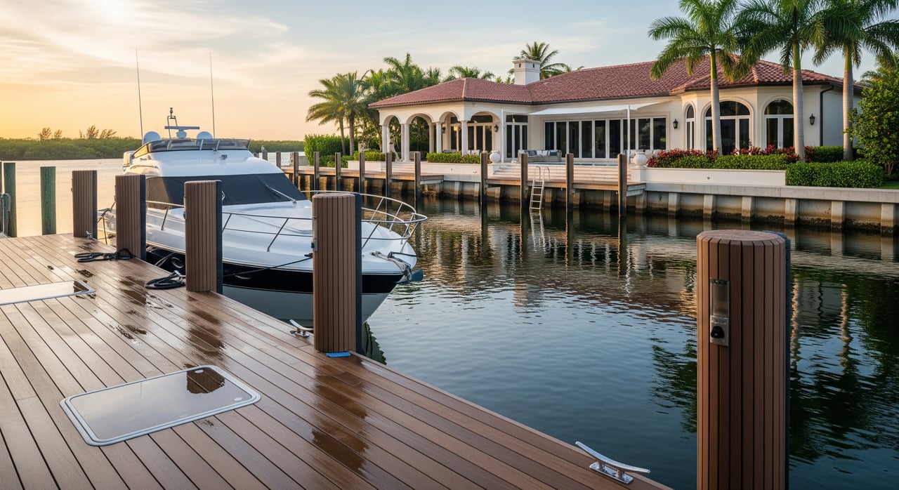
Docks, seawalls, and permits
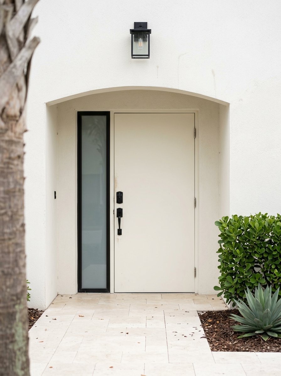
Waterfront homes in Aqualane Shores usually feature concrete seawalls and private docks. Many owners add boat lifts sized for their vessels. Newer construction often includes upgraded seawalls and lifts designed for larger boats. If you plan changes, factor in local and state permitting.
Permitting and environmental review
- Dock construction, seawall work, dredging, or expansion typically require permits from Collier County.
- Projects seaward of the mean high-water line may require state review and, in some cases, federal permits.
- Mangroves and water quality standards are protected. Expect possible mitigation or restrictions based on your scope.
Seawall and dock condition
- Order a marine or structural inspection focused on seawalls, caps, tie-backs, and pilings.
- Confirm boat lift capacity and the materials used for decks and piling wraps.
- If replacement is needed, clarify typical timelines and contractor availability before closing.
Flood zones and insurance
Aqualane Shores waterfront properties commonly fall within coastal flood zones, which can influence building requirements and insurance. Elevated construction and flood coverage are often part of ownership planning. Your boat and your dock can also affect insurance terms, so it helps to coordinate early with your insurer and your marine surveyor.
Key items to review include the property’s FEMA flood zone, elevation requirements for new improvements, and the seawall’s condition. Insurers may require maintenance standards for docks and lifts, and larger vessels can impact premiums or underwriting.
Boating services and dining nearby
One of the lifestyle perks of Aqualane Shores is proximity to downtown Naples and the waterfront corridor around Naples Bay. You can reach fuel docks, transient slips, marine service providers, and waterfront dining spots by boat with a short run, depending on your vessel speed and conditions.
During the winter season, slip demand rises sharply. If you plan to rely on transient dockage, reservations and advance planning are smart. For haul-out or long-term storage, check travel lift capacity and yard availability for your vessel class.
Buyer checklist
Use this checklist to compare properties and confirm that “Gulf access” aligns with your boating needs.
Technical and navigation
- What is the MLW depth at the dock and along the full route to the pass?
- Does the route avoid low-clearance bridges for my vessel height?
- How long is the route in nautical miles, and how long will it take at my typical speed?
- Are channel markers and aids to navigation present and maintained on my path?
Property and regulatory
- What permits are on file for the existing dock, lift, and seawall? Any code issues?
- Is a submerged-land lease needed for replacement or expansion?
- What is the FEMA flood zone for the property, and what elevation requirements apply?
- Can the current dock and lift handle my vessel’s length, beam, weight, and windage?
Operational and lifestyle
- Where is the nearest full-service marina with fuel, pump-out, travel lift, and storage that fits my boat?
- What local idle or no-wake zones affect my travel time?
- Are there neighborhood rules for boat mooring, guest slips, or overnight stays?
- What is typical seasonal traffic, and how might wakes from larger vessels affect my dock?
Financial and insurance
- Will my homeowner or marine insurance change due to waterfront exposure or vessel size?
- If I need to upgrade the seawall or rebuild the dock, what are typical costs and lead times in this market?
What to do next
- Arrange a marine survey focused on the dock, lift, and seawall.
- Review current charts and local tide and current information for your intended route to the pass.
- Schedule a guided run with a local captain or marina manager if you are new to Naples waters.
- Confirm permitting requirements with Collier County and the appropriate state and federal offices before planning dock or seawall work.
If you want a property that truly fits your boat and your lifestyle, it pays to assess the route, the dock, and the paperwork before you write an offer. That is where experienced guidance makes a real difference.
When you are ready to compare Aqualane Shores homes with confidence, let us help you evaluate the route to the Gulf, review permits, and coordinate the right inspections. For concierge-level service and proven results, connect with Kevin L Fuller.
FAQs
What does “Gulf access” usually mean in Aqualane Shores?
- In Aqualane Shores, it typically means a navigable route from your dock to Naples Bay and out to the Gulf via the local pass commonly referred to as Gordon Pass, without locks.
How do tides and currents affect the route to the Gulf?
- Tidal exchange at the pass can create strong currents and occasional chop, so many boaters plan arrivals and departures near slack tide for comfort.
Are there low bridges between Aqualane Shores and the Gulf?
- Most common routes do not require passing under low-clearance fixed bridges, but you should verify vertical clearance for your vessel’s height along your specific path.
What should I check about a home’s dock and seawall?
- Confirm MLW depth at the slip, seawall and tie-back integrity, lift capacity for your vessel, and proper permits for any existing or planned improvements.
Do I need special permits to rebuild a dock or seawall?
- Most dock or seawall projects require local permits and, depending on scope and location, state or federal authorization, especially for work seaward of the mean high-water line.
How busy is the waterway during peak season?
- Winter brings heavier traffic near marinas and dining spots, so expect more congestion and plan extra time for no-wake zones and transient slip reservations.